GKG Heatmap Visualizer

Dataset: Global Knowledge Graph
Description: Creates an interactive heatmap that displays in a browser window, along with a CSV file for importing into GIS software.
Components: PERL, heatmap.js, Google Maps
Acknowledgements: Makes use of the heatmap.js library.
Example: Heatmapping Hotspots.
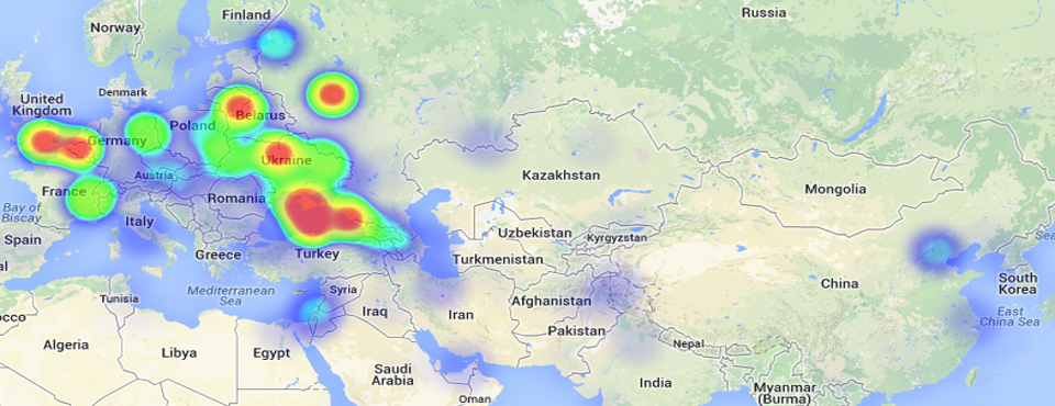
The GKG Heatmap Visualizer allows you to rapidly construct geographic heatmaps from the GDELT Global Knowledge Graph (GKG) to understand spatial patterns in your search, and creates an interactive browser-based heatmap display and Latitude/Longitude .CSV file for more sophisticated analysis and visualization using GIS software. All GKG records are scanned for your search criteria and a list compiled of all of the city, landmark, and administrative division (roughly equivalent to a US state) locations found in each record, which is then compiled to make a master histogram by latitude/longitude of the top locations associated with your search. This is then output in a live browser-based heatmap visualization and a .CSV file that you can readily import into GIS software for more sophisticated visualization and spatial analysis.
No programming or technical skills are required to use this heatmap visualization - you simply specify a set of person or organization names, locations, or Global Knowledge Graph Themes, along with an optional date range, and the system will automatically search the entire Global Knowledge Graph for all matching entries and compile the final timeline. Your results will be emailed to you when complete, usually within 10 minutes, depending on server load and the time it takes to perform the necessary calculations. All GDELT Global Knowledge Graph records are scanned for your search parameters and a histogram compiled of the locations found across all matching records. Thus, selecting "Vladimir Putin" as your search criteria will generate a heatmap of all of the locations across the world most closely associated with him, as well as a .CSV file with the results for import to an external GIS package.